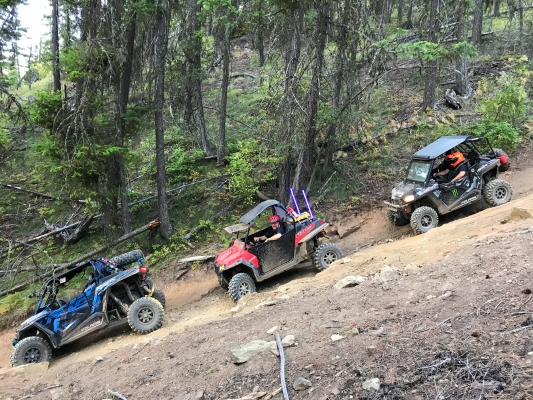
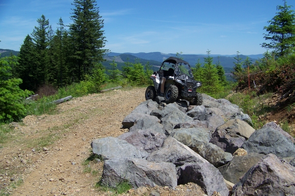
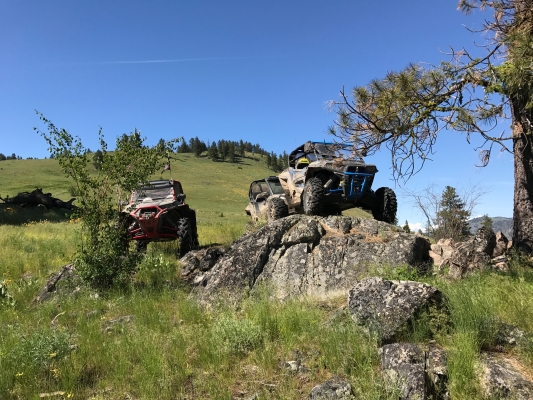
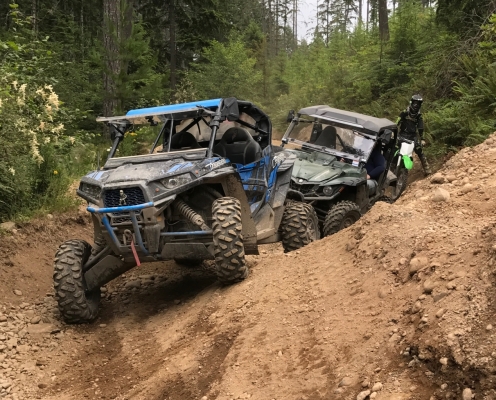
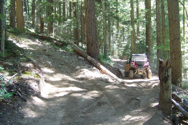
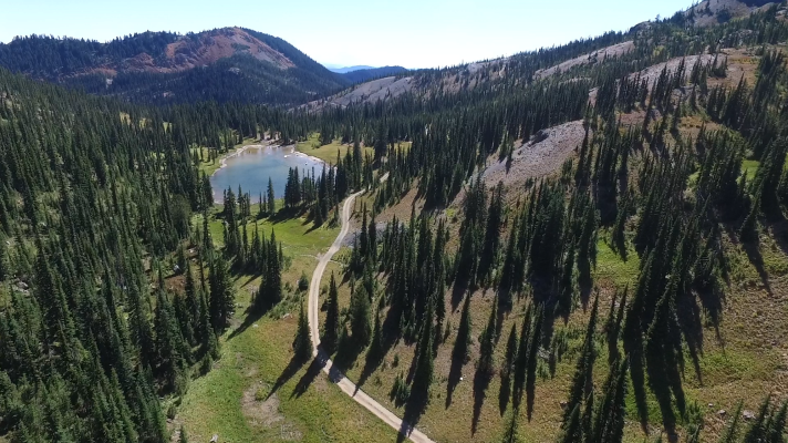
Fortune Creek is home to a series of 4×4 trails, consisting of 4W301-304, and a separate trail, 4W305. 4W301-304 make their way up the mountain, passing Gallagher Head Lake before terminating with some excellent scenic view points. This area makes a great destination for a day trip.

The entire system of trails is about 28 miles. You’ll do some parts both directions, though, so figure about 40 miles of riding if you do everything. The entire system can be done, both directions, in about 6 hours.

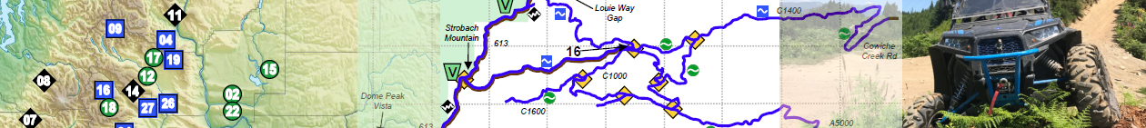
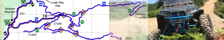
Get details including directions, staging areas, maps, and difficulty levels in the UTV Guide to WA State.


Similar Posts

  • Liberty

    The Liberty area hosts a series of 4×4 trails in steep mountain terrain. When it is dry, the dirt can be loose and slippery in places. When wet, the mud will make it treacherous in most areas. There are lots of off-camber situations and steep hill climbs, often combined for extra fun. Seasonal closure in…

  • Capitol Forest

    This riding area is mostly service roads, but a great many of them. Some side roads that are a little less tame, and some criss-crossing play areas under the power lines. There are a number of 50” trails that are marked, strictly enforced, and closed from December – April. UTVs are prohibited on them at…

  • Conconully

    This entire region is covered with old mining and logging roads that can be enjoyed on your off-road vehicle. The terrain ranges from wide open well-maintained service roads to old, forgotten roads that now look more like trails, way up in the mountains. None of it is particularly difficult, but all of it is beautiful…

  • Tahuya State Forest

    Tahuya State Forest is a 23,000-acre “working forest” (logging) that is used for ORV riding, horseback riding, mountain biking, fishing, hunting, camping, etc. But it is mostly an ORV destination. The vast majority of the trails are ATV trails, with very narrow bridges with high steel sides that are 48” wide. Only about 15 miles…

  • Naches Pass Trail

    In the mid-1800s, a road was made from Walla Walla to Fort Steilacoom through Naches Pass. But it was too difficult for early settlers. It has stayed available for motorized recreation, but has fairly restrictive seasons due to the elevation, and the effects of motorized vehicles on trails (especially when the snow melts). Lower Naches…

Leave a Reply