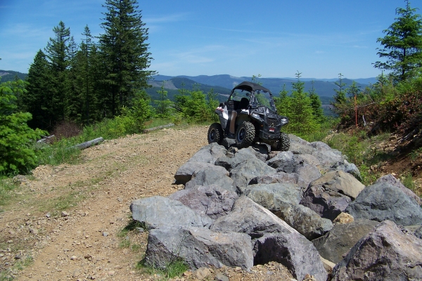
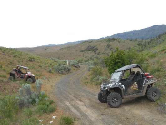
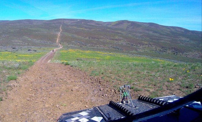
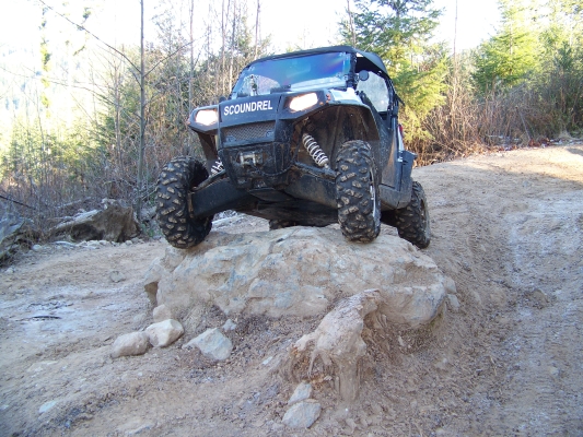
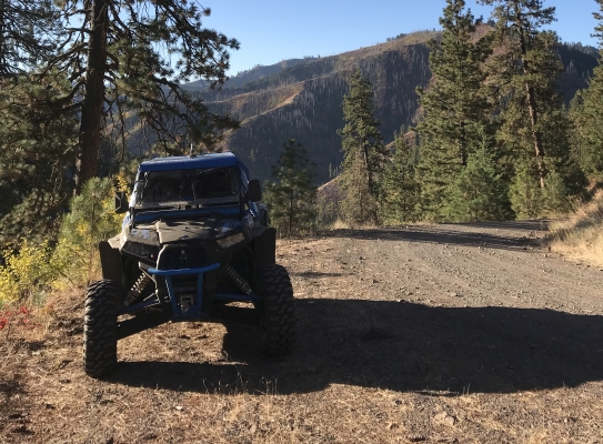
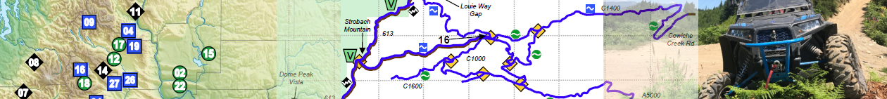
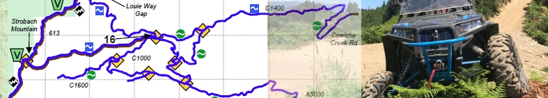
Category Archives: Riding Areas

How do I get my city/county to pass a WATV ordinance?

If your city and/or county does not have a WATV ordinance  which allows you to drive your ATV or SxS on the streets, here is one approach to making it happen:

Basically you need to propose the idea to the city or county council members where you want to ride, try and find at least one of them who likes the idea to help you sell it.

Start by emailing the council/mayor with your interest (their email addresses are published on their website) and that you’d like to be the point of contact. Then put the word out on social media and get as many people as you can to also email them and express their interest in adopting the ordinance.

Once they’ve agreed to discuss it, talk to the city engineer and administrator about drafting up an ordinance (you can copy from another county and another city).

Then go to meetings, push the idea to keep it on the agenda, get other people to go to the meetings with you.  Talk to people on social media who have done it in their area to get an idea what questions and concerns the council will have, and be ready at the meetings with those answers and examples from other counties and cities that have adopted ordinances. Try to keep momentum going until they either vote it down, or vote it into place.

Here is a list of counties and cities that have opted in, with links to the ordinances they drew up.
The document below was presented on a projector screen at a city council meeting to help the council understand visually what was being proposed. The word “DISCUSS” was later changed to ADOPT in a later presentation when it was getting close to the vote.
WATV proposal to council members

Yacolt Burn 4×4 Trails

Located about 10 miles northeast of Camas, or 20 miles East of Vancouver, WA. This off-road park supports all types of off-road vehicles, but has a small, new section for 4×4 and SxS vehicles. The 4×4 section of this park is just getting started, and right now there are only 3 miles of 4×4 trail. Pistons Wild 4×4 club is working hard with the DNR to change that, and they’ve made a great start of it.

Get details including directions, staging areas, maps, and difficulty levels in the UTV Guide to WA State.

Wenas Wildlife Area

This area provides a mountain forest landscape, with tall windy ridge lines, and twisty canyons full of trees. You can ride all day here in a large loop with a little bit of backtracking and see canyons, rock formations, and rolling hills. But by the time you’re done, you’ll be pretty tired because some of this ground can be pretty rocky, and it can get pretty chilly up on the ridge line in spring/fall.

You can ride on any road that has a white marker with a green dot on it. The roads on the West side meet up with Okanogan-Wenatchee NF roads, which are currently not legal for WATVs, so be aware of the boundaries. This area is open from May 1 through Mid-December (check with DNR for dates).

Highlights:
Breathtaking views for many miles. Fresh forest smells. Pretty flowers if they are in bloom. High likelihood of seeing wildlife. High speed riding on open roads in the mountains.

Get details including directions, staging areas, maps, and difficulty levels in the UTV Guide to WA State.

Wenas Wildlife Area – Umtanum Ridge

Umtanum Ridge is an isolated segment of the Wenas Wildlife Area, managed mostly by the DFW with a few patches of DNR land in the middle of it. The riding here is mostly high speed along ridge lines, with some canyon runs that are rough and bumpy. Most roads are in good condition.

You can ride on any road that has a white marker with a green dot on it.
This area is open year round for motorized access, but you may have some trouble when it is covered with snow.

Highlights:
This area features some exhilarating hill climbs and breathtaking panoramic views. Pretty flowers if they are in bloom. High likelihood of seeing wildlife. High speed riding out in the wide open desert.

Get details including directions, staging areas, maps, and difficulty levels in the UTV Guide to WA State.

Walker Valley ORV Park

Located about 11 miles southeast of Mount Vernon. This off-road park supports all types of off-road vehicles and is the primary, most popular riding area in the Northwest region. There are about 80 miles of trails in total, including single-track and ATV trails as well. There are only about 10 miles of actual 4×4 trails, but they are good ones. There are also lots of service roads you can ride, and a few gravel pits you can play around in. There are some tricky spots, but most can be bypassed without missing much.

Highlights: Thick forest, boulder-strewn trails, muddy ruts. Beautiful views from some spots. Gravel pits to play around in.

Get details including directions, staging areas, maps, and difficulty levels in the UTV Guide to WA State.

Umatilla National Forest

What you will find at Umatilla is a fairly sparse forest on a desert landscape with ridges to ride on and valleys to look out over. This book covers most of the portion of the Umatilla Forest that is in Washington State. Great scenery. High speed runs on very long roads.

Umatilla National Forest allows “All Vehicles” access to SOME of its roads. The Motorized Vehicle Use Map (MVUM) lists these roads. Please obtain the MVUMs in addition to this book (they are free) and bring them with you for reference. Not all of these roads connect to each other so it can be difficult to make a loop or chain the roads together without driving on the main FS roads in places you are not allowed to be. But there are some dense areas in the center, and that is what I have mapped in this book. Feel free to find the others as well, using the MVUM.

Get details including directions, staging areas, maps, and difficulty levels in the UTV Guide to WA State.

Tahuya State Forest

Tahuya State Forest is a 23,000-acre “working forest” (logging) that is used for ORV riding, horseback riding, mountain biking, fishing, hunting, camping, etc. But it is mostly an ORV destination. The vast majority of the trails are ATV trails, with very narrow bridges with high steel sides that are 48” wide. Only about 15 miles of Tahuya’s trails are passable by vehicles wider than 48”. But those 15 miles include some pretty fun stuff, so it can still be worth the trip.

There is a new 4×4 loop with difficult rock challenges. Tahuya is a place to experience some slow, relaxing recreation, with a few areas to stop and play around with optional challenges. If you seek wide open spaces, high speed trails, and large areas to explore, this is not the best place for that.


Get details including directions, staging areas, maps, and difficulty levels in the UTV Guide to WA State.

The Slab ORV Area

The Slab is about 600 acres or so, depending on who you talk to. The area consists of rolling hills made up of sandy dirt, covered with scrub brush.

There are some places to get up some speed.
There are some short but steep hill climbs.
There are some sweet jumps.
There are some whoops.
There are some trails weaving in and around the hills.
There are some places to do some rock crawling.
There are some bowls to run around in circles in.

Basically, it’s an open play area big enough for a few hundred rigs, like a condense sand dune area. Of course, that means on a busy day it might be a little dangerous. Keep your eyes open.

Get details including directions, staging areas, maps, and difficulty levels in the UTV Guide to WA State.


Sadie Creek 4×4 Trail

Located 8 miles west of Joyce, this 4×4 trail is separated by Hwy 112 from the ATV-ONLY Sadie Creek trail system. It is designed for short wheel base (103” or less) off-road vehicles. After passing through a “qualifier gate”, there is a short section of service road, and then the 4×4 trail begins. It is quite a rugged trail, steep and off-camber in places, with deep ruts, and lots of mud.

On a clear day, trail users can see the Strait of Juan de Fuca, Vancouver Island, the San Juan Islands, and Mount Baker.
Highlights: Thick forest, short, steep climbs, muddy ruts. Beautiful views on the highway driving to and from the staging area.

Get details including directions, staging areas, maps, and difficulty levels in the UTV Guide to WA State.

Saddle Mountains

The Saddle Mountains area is just North of Mattawa, WA. It is about 5700 acres of public lands, consisting of mountains covered with small amounts of underbrush and criss-crossed with service roads, mainly along the power lines and leading to communication stations.

This is a good area for a relaxing ride in wide open country. Most of the riding consists of easy gravel roads, but at the Western edge you can find a sandy play area, and some very steep hill climbs. There are a couple of canyons to crawl through, which is the most interesting part.

Get details including directions, staging areas, maps, and difficulty levels in the UTV Guide to WA State.