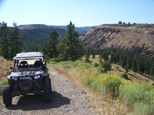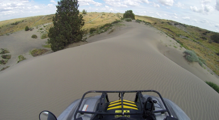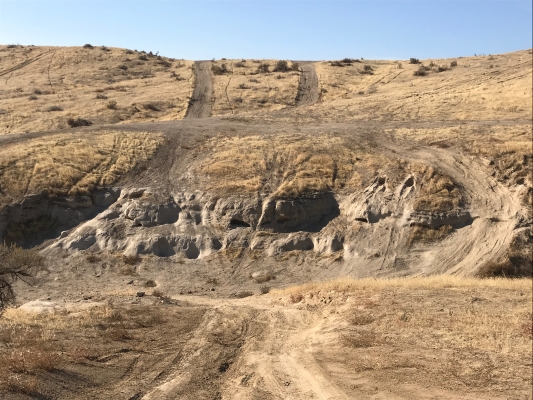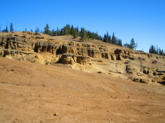
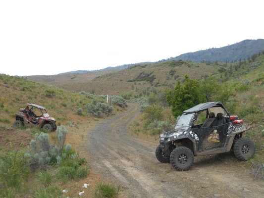
This area provides a mountain forest landscape, with tall windy ridge lines, and twisty canyons full of trees. You can ride all day here in a large loop with a little bit of backtracking and see canyons, rock formations, and rolling hills. But by the time you’re done, you’ll be pretty tired because some of this ground can be pretty rocky, and it can get pretty chilly up on the ridge line in spring/fall.

You can ride on any road that has a white marker with a green dot on it. The roads on the West side meet up with Okanogan-Wenatchee NF roads, which are currently not legal for WATVs, so be aware of the boundaries. This area is open from May 1 through Mid-December (check with DNR for dates).

Highlights:
Breathtaking views for many miles. Fresh forest smells. Pretty flowers if they are in bloom. High likelihood of seeing wildlife. High speed riding on open roads in the mountains.

Get details including directions, staging areas, maps, and difficulty levels in the UTV Guide to WA State.
Similar Posts

  • Juniper Sand Dunes

    I would be more inclined to call this area “Juniper Sand Trails” than Dunes. The majority of the area is covered in scrub brush. Pick a direction you want to go, and there are sand trails through the brush headed that direction. There are a few open dune areas. Taller dunes can be found further…

  • Tahuya State Forest

    Tahuya State Forest is a 23,000-acre “working forest” (logging) that is used for ORV riding, horseback riding, mountain biking, fishing, hunting, camping, etc. But it is mostly an ORV destination. The vast majority of the trails are ATV trails, with very narrow bridges with high steel sides that are 48” wide. Only about 15 miles…

  • Manastash Ridge

    Manastash Ridge is a great place to spend several days camping and riding. There are two campgrounds within a mile of each other, with many spots large enough for groups with multiple trailers. No reservations, arrive early to make sure you get the spot you want. Both campgrounds offer direct trail access. There is a…

  • Naches Pass Trail

    In the mid-1800s, a road was made from Walla Walla to Fort Steilacoom through Naches Pass. But it was too difficult for early settlers. It has stayed available for motorized recreation, but has fairly restrictive seasons due to the elevation, and the effects of motorized vehicles on trails (especially when the snow melts). Lower Naches…

Leave a Reply