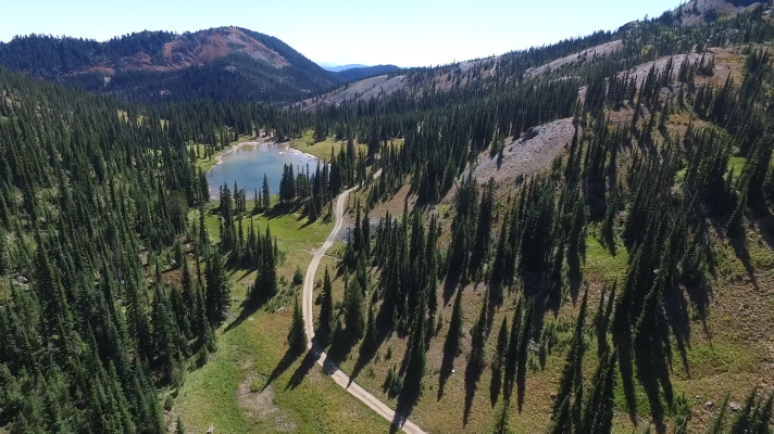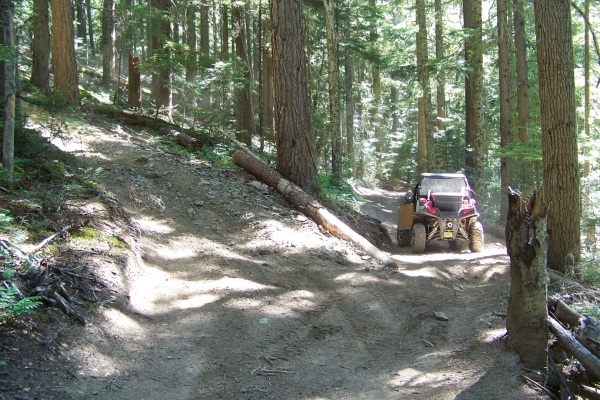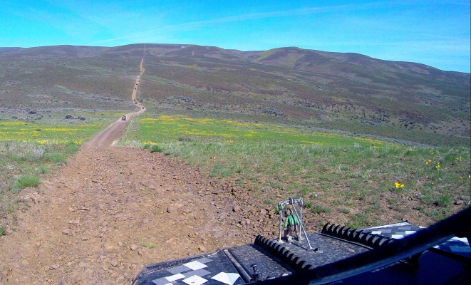
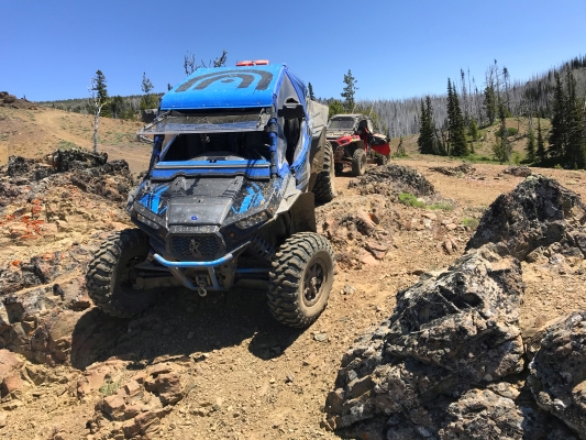
The Rimrock area is absolutely stunning. There are vistas of exceptional beauty and majesty. And as with most things of great beauty, it is also potentially deadly.

I’m not kidding here. Some of Rimrock is fairly tame and fun to run around on, but a lot of it is crazy steep. I’ve been on trails all over the state and it takes a lot to frighten me, but I still get scared at Rimrock. The side hills are pucker-inducing even when dry. Some of the trails are so steep they are designated one-way only. You’ll slide down them, barely in control. Going up them is asking for trouble. People have died. If you have not grown up off-roading in stuff like this, Rimrock is dangerous.

I’ll rate a couple of the trails as easy, and a few as moderate, but most are double-diamond. Some people will scoff at this, but I can’t emphasize enough, take Rimrock seriously.

Get details including directions, staging areas, maps, and difficulty levels in the UTV Guide to WA State.
Similar Posts

  • Republic Area

    This area contains a network of forest service roads in the Colville NF which are legal for all vehicles, and a few actual trails. The N and SW regions can be accessed by driving your ORV right out of Republic. However, the SE region, which has the best scenery, requires that you trailer your ORV…

  • Saddle Mountains

    The Saddle Mountains area is just North of Mattawa, WA. It is about 5700 acres of public lands, consisting of mountains covered with small amounts of underbrush and criss-crossed with service roads, mainly along the power lines and leading to communication stations. This is a good area for a relaxing ride in wide open country….

  • Fortune Creek

    Fortune Creek is home to a series of 4×4 trails, consisting of 4W301-304, and a separate trail, 4W305. 4W301-304 make their way up the mountain, passing Gallagher Head Lake before terminating with some excellent scenic view points. This area makes a great destination for a day trip. The entire system of trails is about 28…

  • 7 Mile ORV Park

    7 Mile Orv Park covers about 600 acres. The area consists of rolling hills made up of sandy dirt, covered with trees and some underbrush.. There are some places to get up some speed. There are some short but steep hill climbs. There are some sweet jumps. There are some whoops. There are some trails…

  • Naches Pass Trail

    In the mid-1800s, a road was made from Walla Walla to Fort Steilacoom through Naches Pass. But it was too difficult for early settlers. It has stayed available for motorized recreation, but has fairly restrictive seasons due to the elevation, and the effects of motorized vehicles on trails (especially when the snow melts). Lower Naches…

Leave a Reply