22,000 acres of dry sage steppes, cut by a lush riparian oasis along Douglas Creek. Songbirds and raptors abound in the cottonwoods and cliffs of this protected canyon, while beaver and trout thrive in the pools and cascades of the stream. 4 miles of access roads & trails open to OHVs. Hunting, dispersed camping, hiking, wildlife watching, fishing and swimming are also permitted in this area.

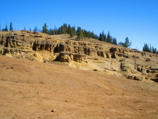
The waterfall and swimming hole is a good place to hang out on a hot summer day. Also get up on the hilltop for a great view of the surrounding area.

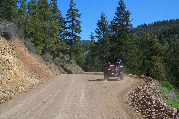
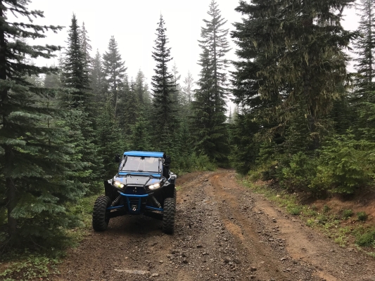
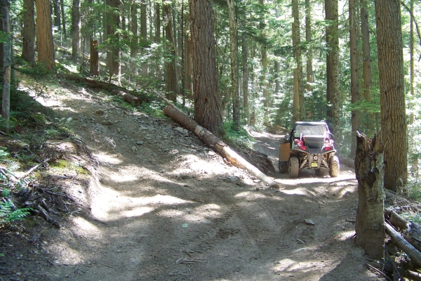
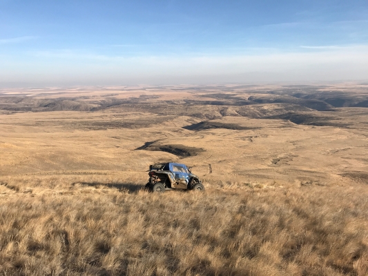
You can ride the whole area in a couple hours if you stay on the gas pedal, but that’s not really what this area is about. Take it easy, stop and smell the flowers and the wildlife poop, crack open a cool one, chill in the creek, or just sit and listen for a while. You’re miles from anything.

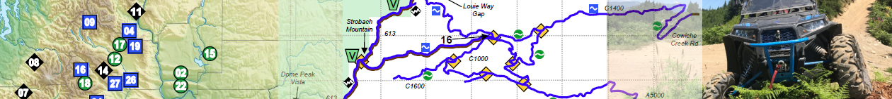
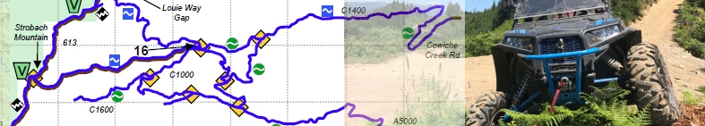
Get details including directions, staging areas, maps, and difficulty levels in the UTV Guide to WA State.

Similar Posts

  • Saddle Mountains

    The Saddle Mountains area is just North of Mattawa, WA. It is about 5700 acres of public lands, consisting of mountains covered with small amounts of underbrush and criss-crossed with service roads, mainly along the power lines and leading to communication stations. This is a good area for a relaxing ride in wide open country….

  • Clover Springs

    This area provides a mixture of easy and technical trails through lush evergreen forest. There are three official 4WD trails. There is not much parking at the trailheads, certainly not enough for a toy hauler or large trailer. However, there is a large area with a lot of primitive camping available. You can bring a…

  • Manastash Ridge

    Manastash Ridge is a great place to spend several days camping and riding. There are two campgrounds within a mile of each other, with many spots large enough for groups with multiple trailers. No reservations, arrive early to make sure you get the spot you want. Both campgrounds offer direct trail access. There is a…

  • Naches Pass Trail

    In the mid-1800s, a road was made from Walla Walla to Fort Steilacoom through Naches Pass. But it was too difficult for early settlers. It has stayed available for motorized recreation, but has fairly restrictive seasons due to the elevation, and the effects of motorized vehicles on trails (especially when the snow melts). Lower Naches…

Leave a Reply