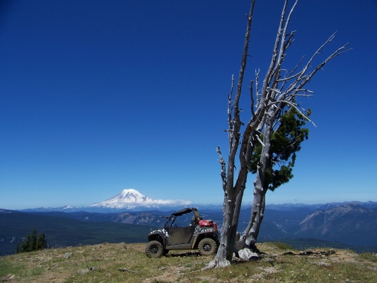
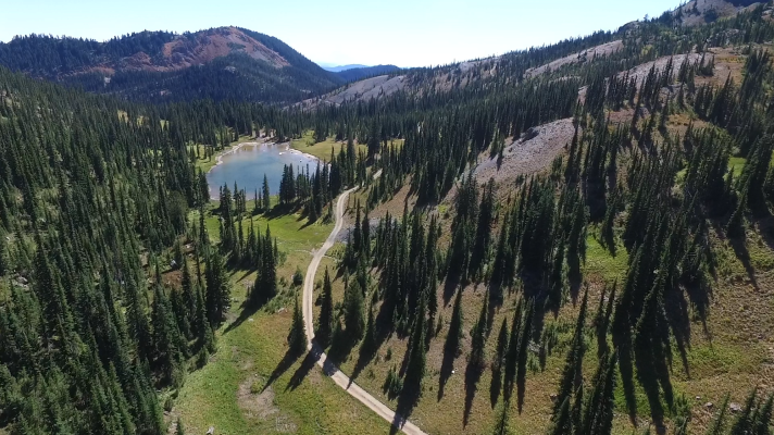
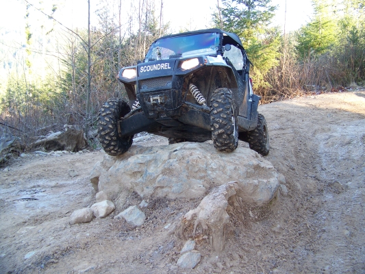
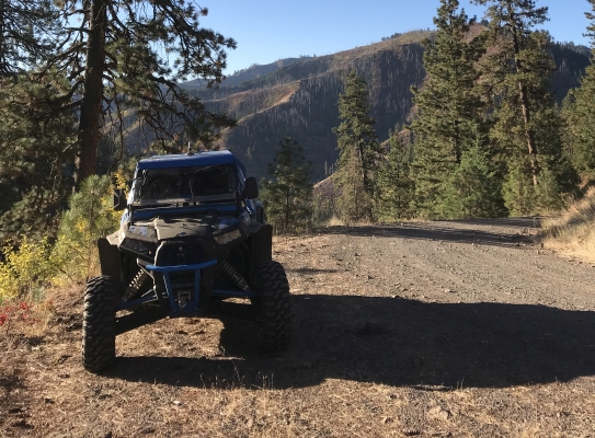
What you will find at Umatilla is a fairly sparse forest on a desert landscape with ridges to ride on and valleys to look out over. This book covers most of the portion of the Umatilla Forest that is in Washington State. Great scenery. High speed runs on very long roads.

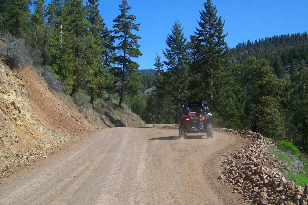
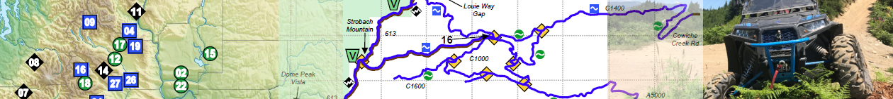
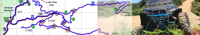
Umatilla National Forest allows “All Vehicles” access to SOME of its roads. The Motorized Vehicle Use Map (MVUM) lists these roads. Please obtain the MVUMs in addition to this book (they are free) and bring them with you for reference. Not all of these roads connect to each other so it can be difficult to make a loop or chain the roads together without driving on the main FS roads in places you are not allowed to be. But there are some dense areas in the center, and that is what I have mapped in this book. Feel free to find the others as well, using the MVUM.

Get details including directions, staging areas, maps, and difficulty levels in the UTV Guide to WA State.

Similar Posts

  • Tahuya State Forest

    Tahuya State Forest is a 23,000-acre “working forest” (logging) that is used for ORV riding, horseback riding, mountain biking, fishing, hunting, camping, etc. But it is mostly an ORV destination. The vast majority of the trails are ATV trails, with very narrow bridges with high steel sides that are 48” wide. Only about 15 miles…

  • Conconully

    This entire region is covered with old mining and logging roads that can be enjoyed on your off-road vehicle. The terrain ranges from wide open well-maintained service roads to old, forgotten roads that now look more like trails, way up in the mountains. None of it is particularly difficult, but all of it is beautiful…

  • Wenas Wildlife Area

    This area provides a mountain forest landscape, with tall windy ridge lines, and twisty canyons full of trees. You can ride all day here in a large loop with a little bit of backtracking and see canyons, rock formations, and rolling hills. But by the time you’re done, you’ll be pretty tired because some of…

Leave a Reply